http://www.google.com/imgres?hl=en&biw=1280&bih=662&tbm=isch&tbnid=YYuFhwsWlnp4YM:&imgrefurl=http://indiemaps.com/blog/2009/11/the-first-thematic-maps/&docid=lSHrpCgS1yKAtM&imgurl=http://indiemaps.com/images/firsts/prussianChoropleth_classed_1828.png&w=639&h=516&ei=_4lKUOvMJYbm9ATKhoDADA&zoom=1&iact=hc&vpx=821&vpy=308&dur=3343&hovh=202&hovw=250&tx=136&ty=83&sig=104655054681110617605&page=1&tbnh=149&tbnw=185&start=0&ndsp=15&ved=1t:429,r:8,s:0,i:98
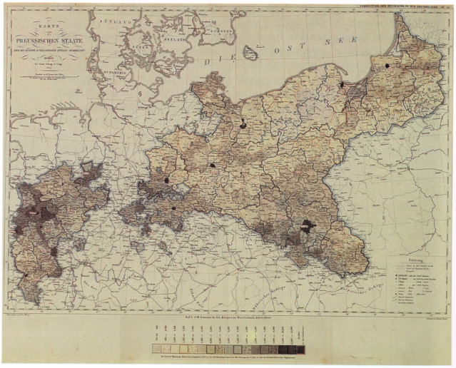
Classed Choropleth Map
Class Choropleth Maps are based on statistical data aggregated over previously defined regions; for example:counties.
No comments:
Post a Comment